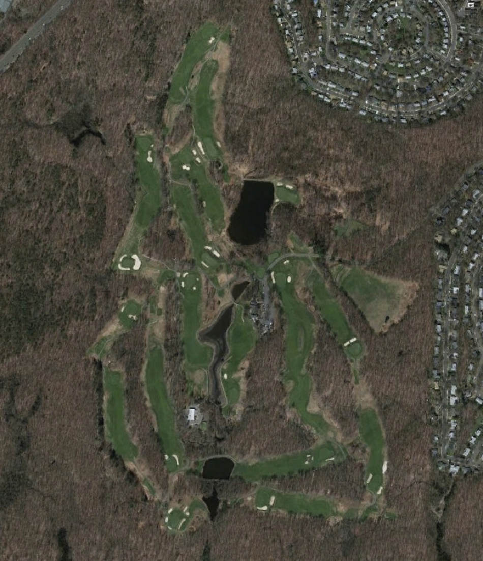
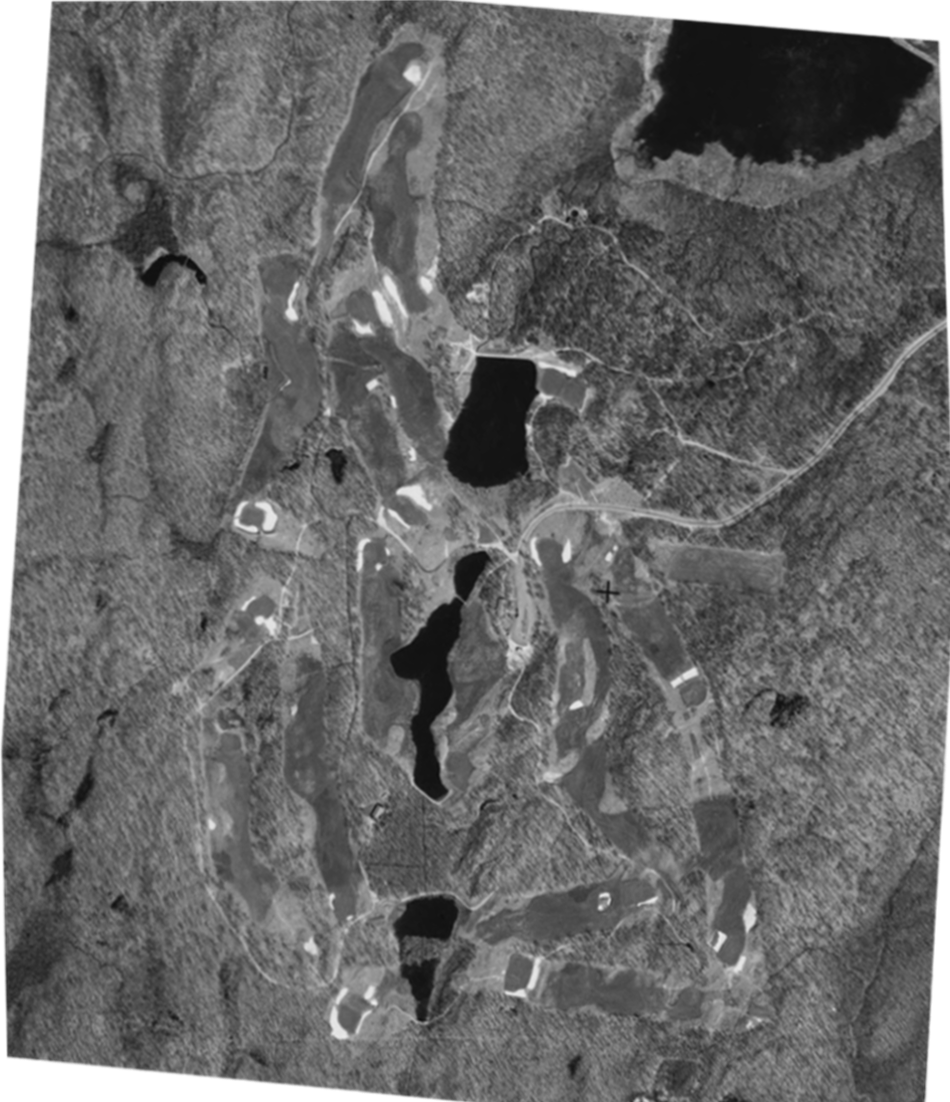
Yale University 1934 v 2013
Grab and drag handle on image below to see changes.


Sources: University of Connecticut Libraries Map and Geographic Information Center - MAGIC. (2012). Neighborhood Change in Connecticut, 1934 to Present. Retrieved from http://magic.lib.uconn.edu/otl/dualcontrol_aerialchange.html on 18 April 2013; Google Earth.
With appreciation: Colin Sheehan.
With appreciation: Colin Sheehan.
Changes to note:
HTML Comment Box is loading comments...

