Shinnecock Hills 1930 v 2013
Grab and drag handle on image below to see changes. To zoom: press "command" and "+" buttons simultaneously on keyboard.
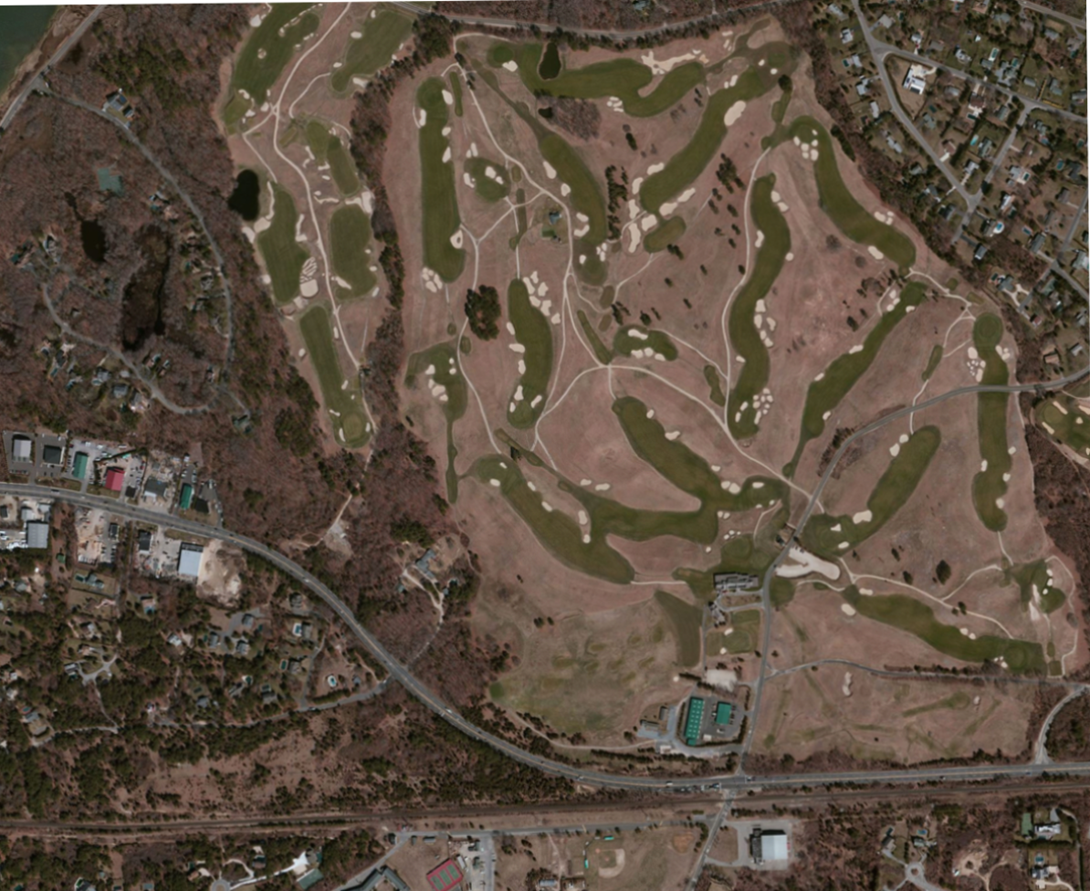
Changes to note:
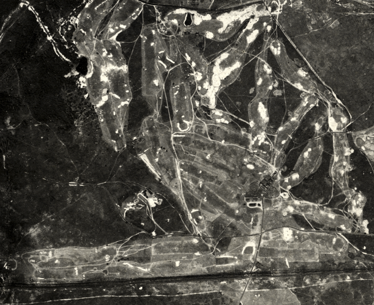
Aerial view 1930 vs 1938
Grab and drag handle on image below to see changes. To zoom: press "command" and "+" buttons simultaneously on keyboard.
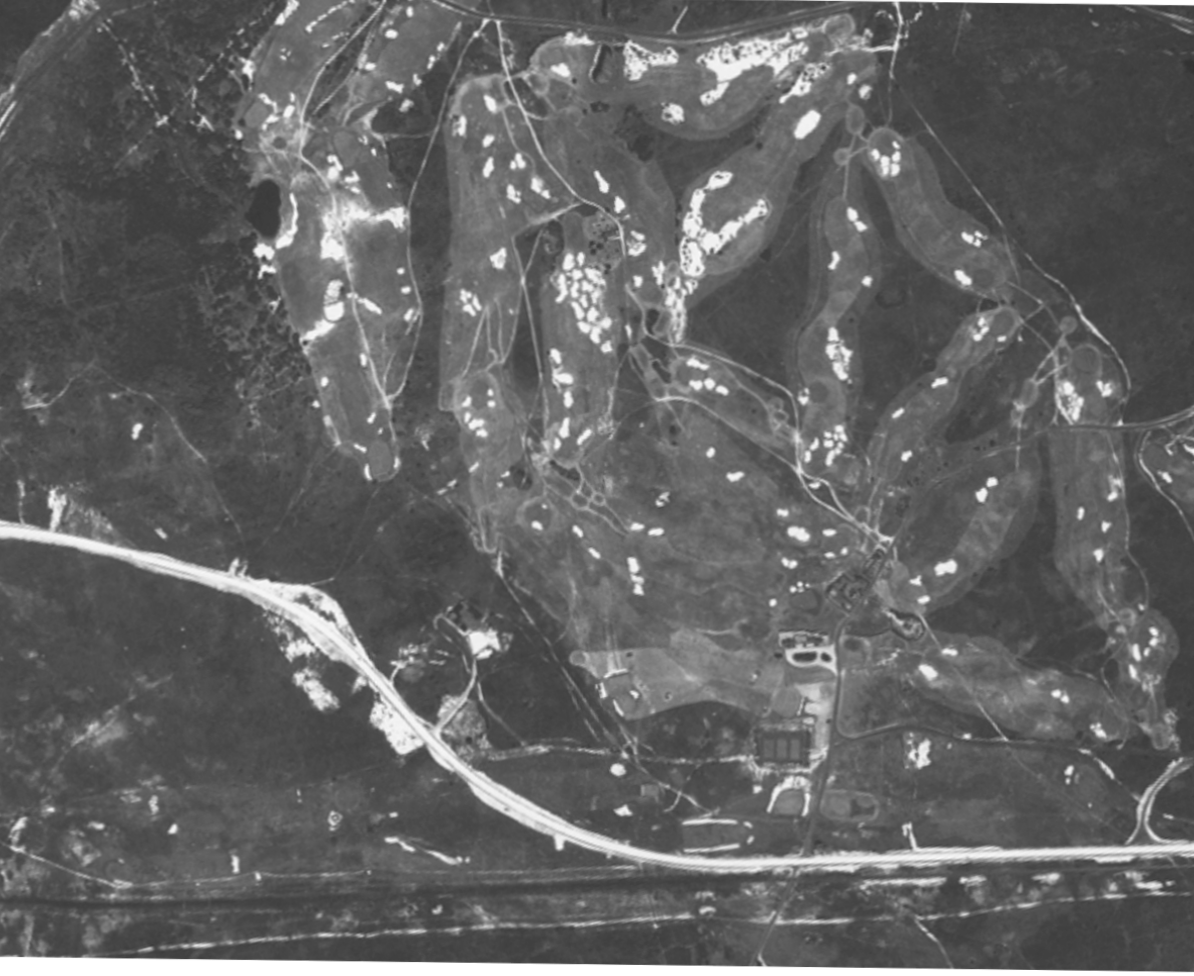
Changes to note:
Sources: Suffolk County (New York) Department of Planning, Cartographic Division; US Geological Survey; Bing.
With appreciation: Carl Lind, Suffolk County (New York) Government
With appreciation: Carl Lind, Suffolk County (New York) Government
HTML Comment Box is loading comments...

This work by GolfCourseHistories.com is licensed under a Creative Commons Attribution-NonCommercial-NoDerivs 3.0 United States License.
Permissions beyond the scope of this license may be available at comments@golfcoursehistories.com.