Seminole Golf Club
Aerials
Oblique view from SW corner, c1930 v 2012
Grab and drag handle on image below to see changes.
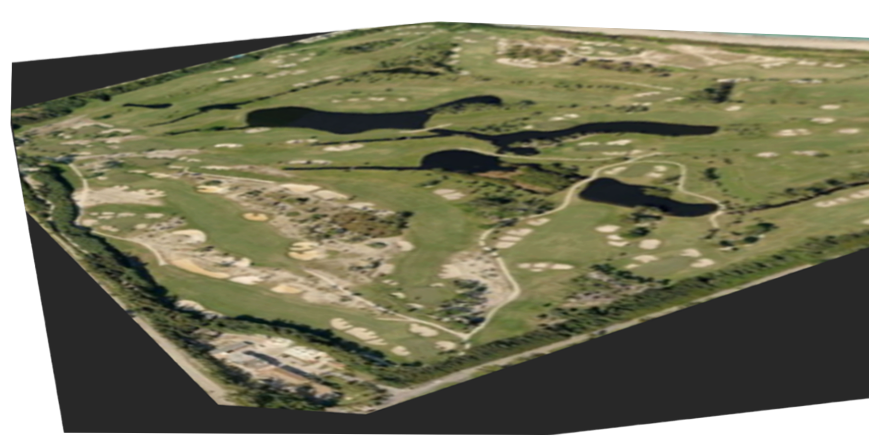
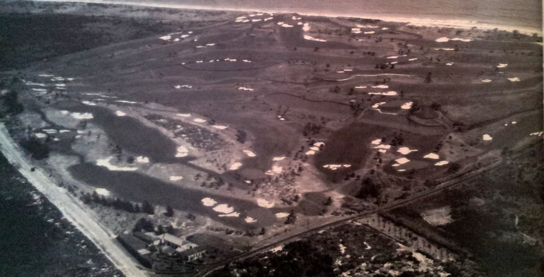
Changes to note:
Aerial view 1953 vs 2012
Grab and drag handle on image below to see changes.
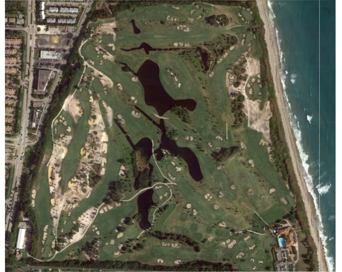
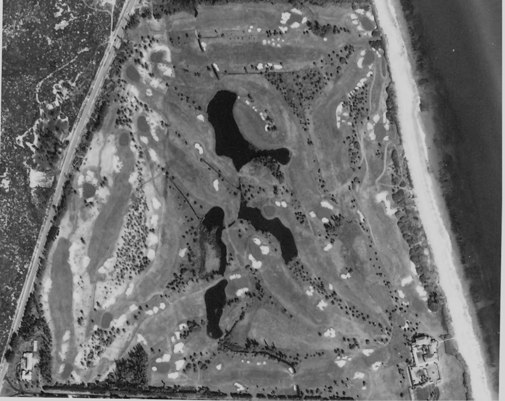
Changes to note:
Aerial view 1953 vs 1968
Grab and drag handle on image below to see changes.
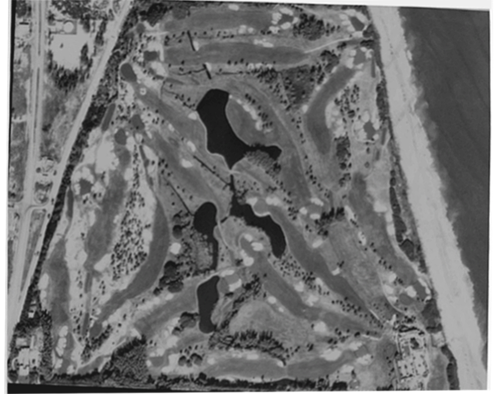

Apparent changes:
Note: LR = left rear; RR = right rear
First 9
1st: two bunkers added outside dogleg
2nd: short-right fwy bunker removed; RH fwy bunker added
3rd: green moved back and slightly left; bunker added short right of new green -- Iso on 3rd green relocation, 1953 v 1964.
4th: bunkers added LR and RR of green
5th: no apparent changes
6th: RH fwy bunker added beyond two extant
7th: LH fwy bunker added
8th: no apparent changes
9th: two LH fwy bunkers combined; LH and RH greenside bunkers possibly enlarged
Second 9
10th: LH / LR greenside bunker added; green possibly enlarged, especially to rear and to right
11th: possible green enlargement
12th: possible SR fwy bunker removed; LH fwy bunker added
13th: possible enlargement of greenside bunkers (possible photographic artifact)
14th: SR bunker removed; cluster of seven RH fwy bunkers (pots?) consolidated into two, possibly four, bunkers
15th: LH fwy bunkers enlarged
16th: RH fwy bunker added, extant RH fwy bunkers expanded; bunker added at outside of dogleg (LH fwy); three bunkers added LH fwy approach; possible enlargement of greenside bunkers; possible consolidation two RR greenside bunkers
17th: possible enlargement of greenside bunkers
18th: LH fwy bunker disaggregated into three bunkers and overall area expanded (extended towards green); first RH fwy bunker enlarged; RH fwy bunker added; approach cross bunker removed; green moved to left -- See 18th hole c1930 v 2012.
See 18th green c1930 from two perspectives.
Ground-Level Views
17th Hole, 1931 vs 2012
Grab and drag handle on image below to see changes.
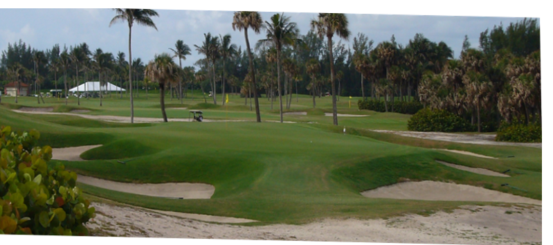
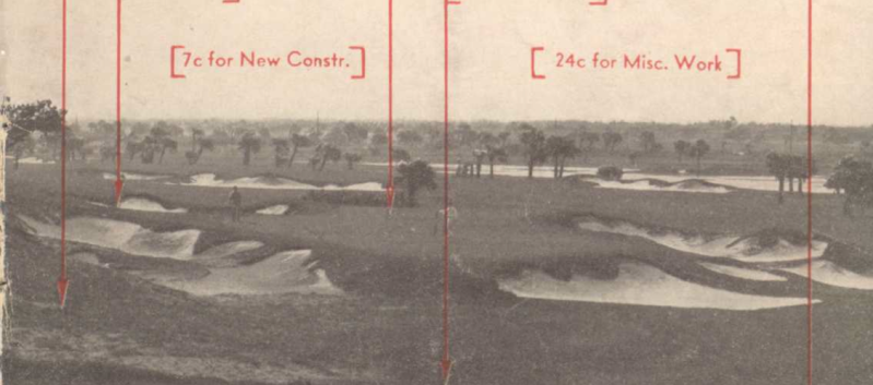

c1930 pictures courtesy Palm Beach County Historical Society. Additional sources: The University of Florida Map & Digital Imagery Library (http://www.uflib.ufl.edu/maps/), ©2012 Google, DigitalGlobe, GeoEye, The Florida Department of Environmental Protection, U.S. Geological Survey
Changes to note:
HTML Comment Box is loading comments...
