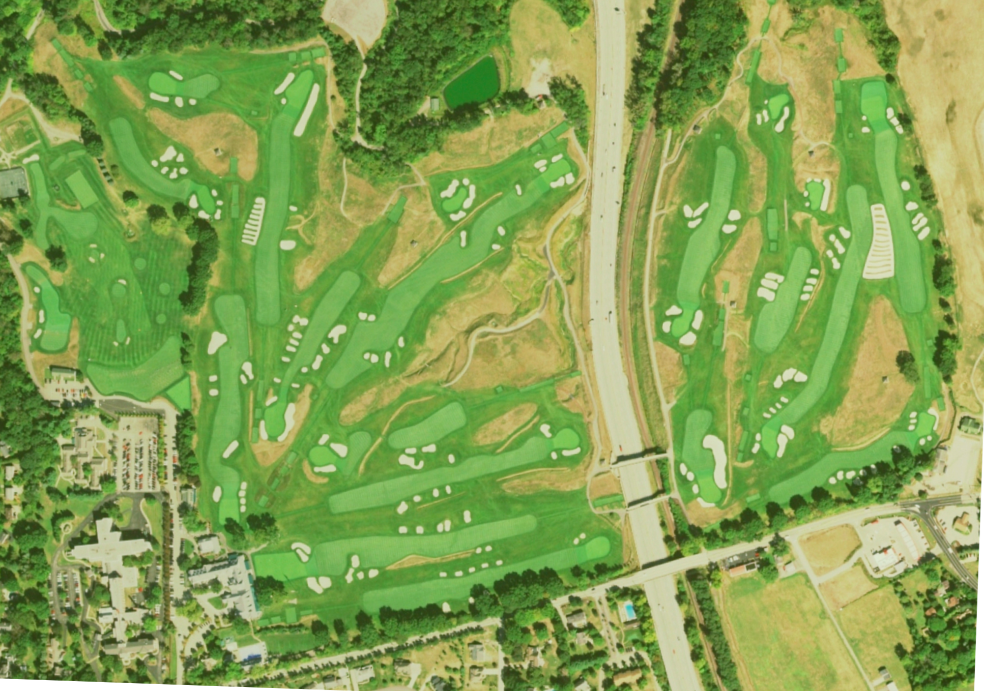
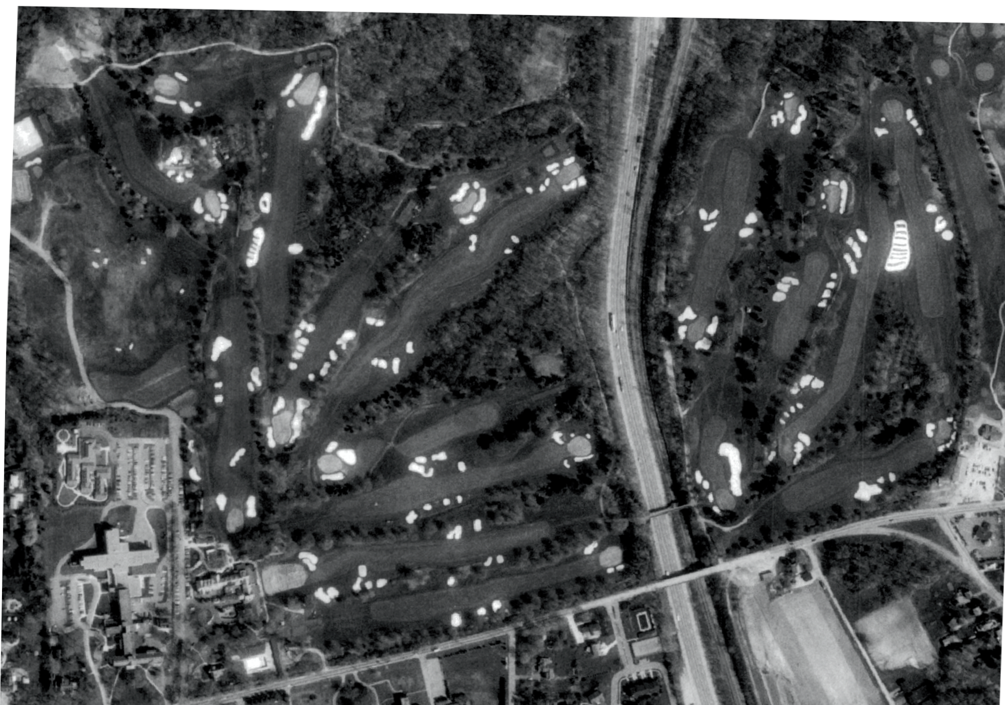
Aerial view 1938 v 1967
Grab and drag handle on image below to see changes. To zoom: press "command" and "+" buttons simultaneously on keyboard.
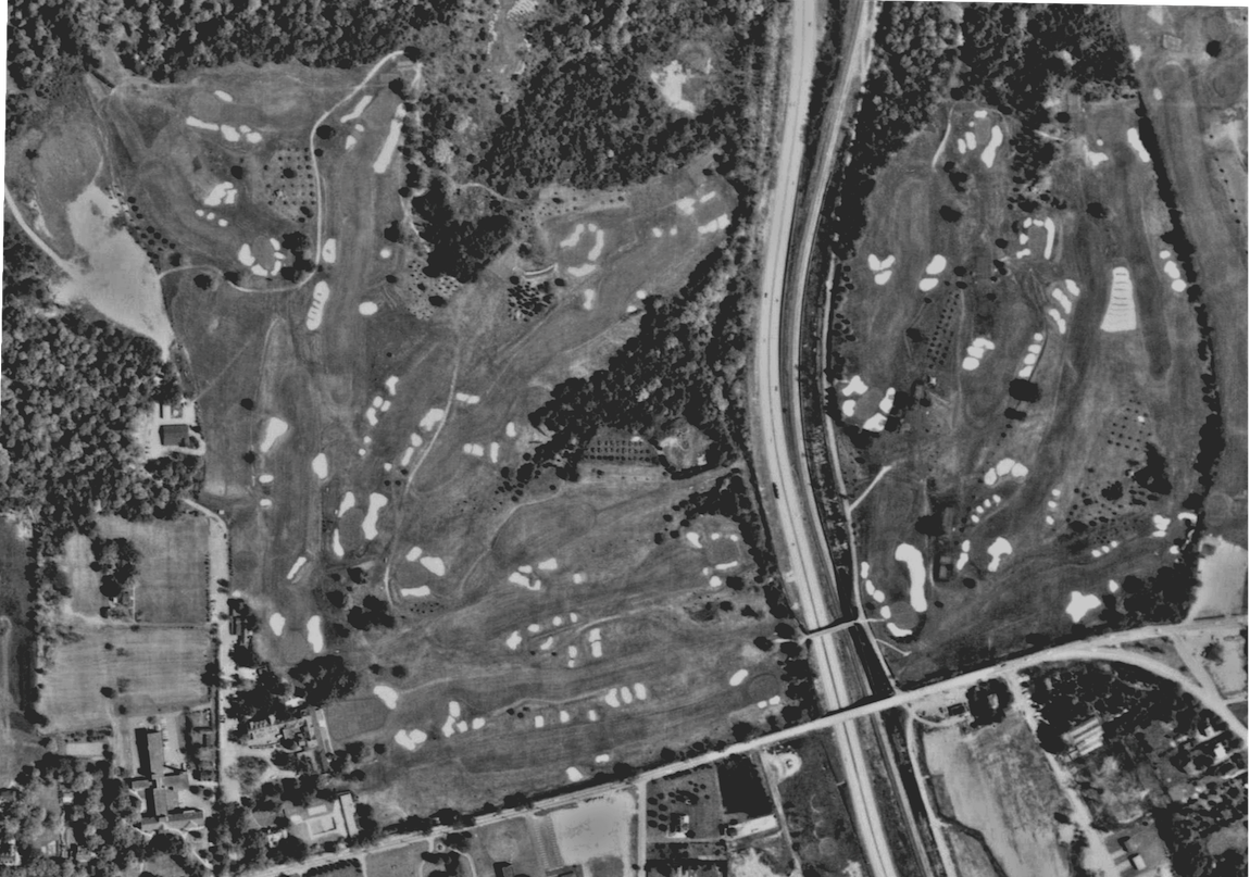
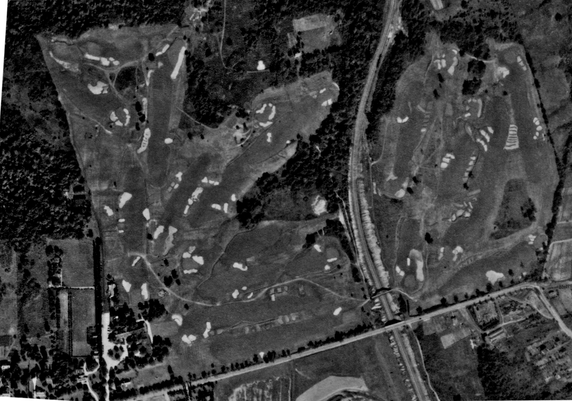
Changes to note:
Sources: Pennsylvania Geologic Survey, Pennsylvania State University; National Agriculture Imagery Program (NAIP) 2015 for Pennsylvania, USDA.
HTML Comment Box is loading comments...
