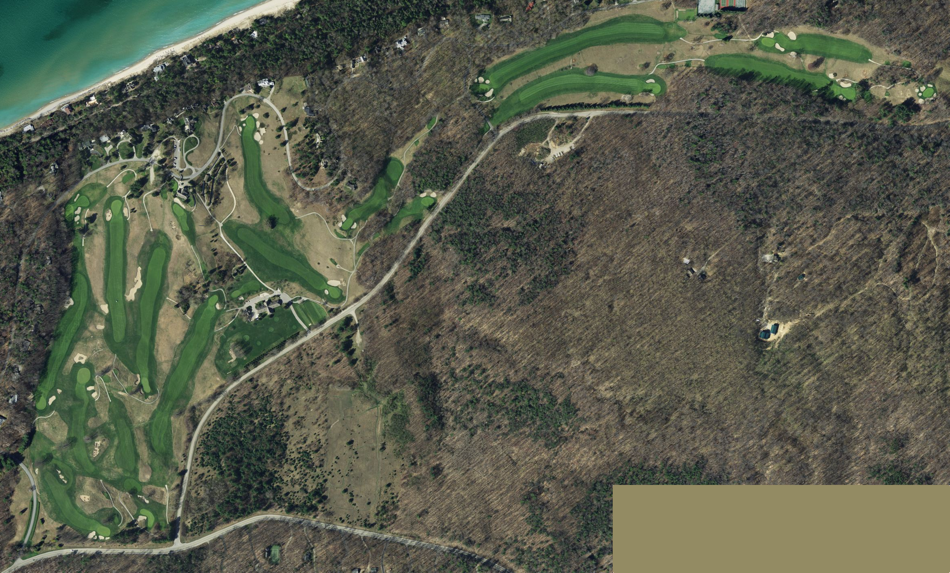
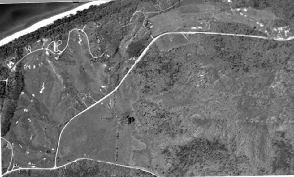
Crystal Downs 1954 v 2012
Grab and drag handle on image below to see changes. To zoom: press "command" and "+" buttons simultaneously on keyboard.
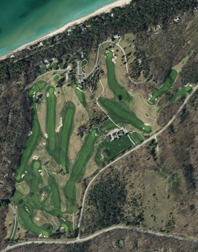
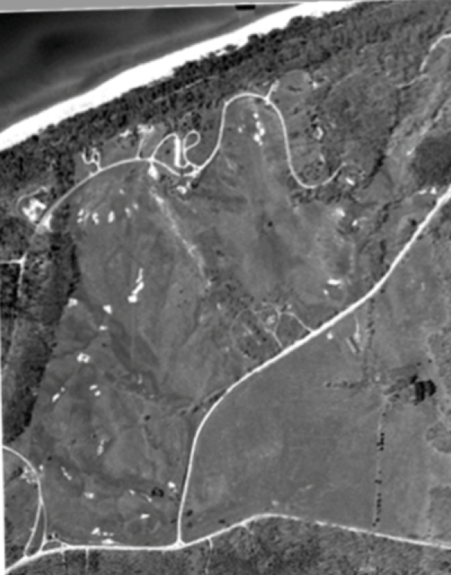
Crystal Downs, closeup of Western portion
Grab and drag handle on image below to see changes. To zoom: press "command" and "+" buttons simultaneously on keyboard.
Sources: US Geological Survey, ©2012 Microsoft, State of Michigan.
Changes to note:
HTML Comment Box is loading comments...

This work by GolfCourseHistories.com is licensed under a Creative Commons Attribution-NonCommercial-NoDerivs 3.0 United States License.
Permissions beyond the scope of this license may be available at comments@golfcoursehistories.com.